
Data Collection in the field
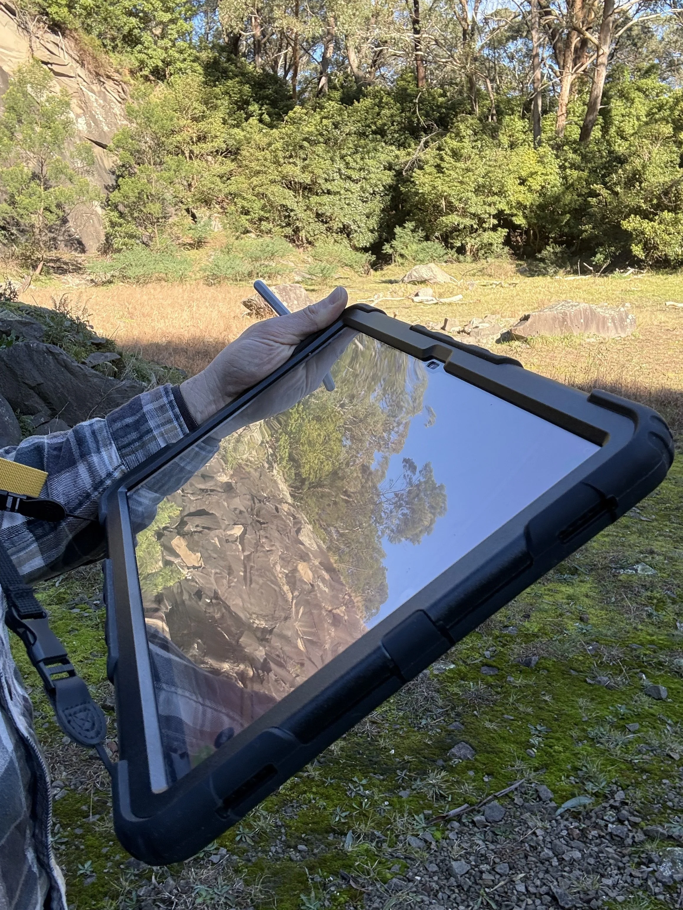
We’ve developed a customised field mapping workflow using QField and QGIS, built to capture the data commonly required in geological fieldwork – from location and sample numbering through to lithological descriptions and cross-cutting relationships.
Data are captured systematically, with the schema and entry forms designed so that field observations are ready to feed directly into downstream machine-learning workflows. The same database structure and forms can also be customised entirely to a client’s own needs.