ROCK RECORDS
Decoding Earth’s past to de-risk your future
About us
Rock Records is a geoscience consulting company owned by Dr Lloyd White, who brings over 20 years of experience in applied research and exploration for global mining and energy companies.
Rock Records serves industry, government, and community stakeholders—providing geological advice for informed and sustainable decisions. Our expertise has supported decision-making in minerals and energy exploration projects, as well as for environmental and engineering studies.
By integrating field and laboratory expertise with advanced modelling and data analysis – together with our background in education – we turn complex geological data into clear, actionable insights. Our approach reduces uncertainty and supports confident decision-making at every stage of your project. This can be done on a schedule that fits with your operations and team.
Our mission is to safeguard your investment—identifying high-potential opportunities while helping you avoid costly missteps.
Whether you are advancing an exploration, construction, or environmental project, Rock Records provides the clarity and confidence you need to move forward with certainty.
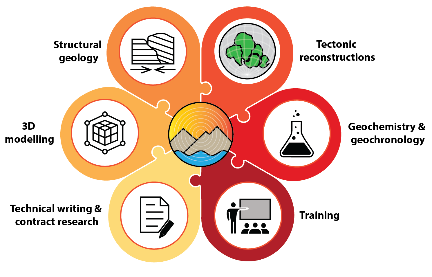
Consulting Services
-

Structural Geology
We can help you, whether it is deciphering the history of multiple deformation phases of structurally controlled ore, to mapping the fault architecture of basins using geophysical imagery. Our experience mapping complex structures extends from the microscope (thin section) to the mountain belt.
-
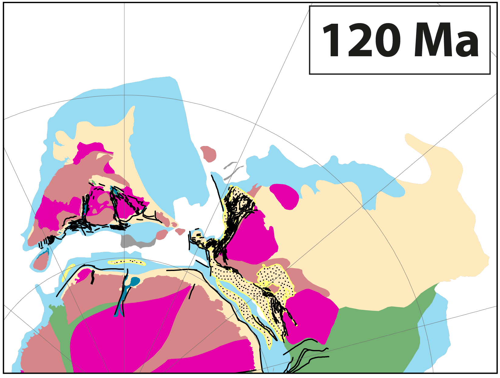
Bespoke Tectonic Reconstructions
We create bespoke plate tectonic reconstructions tailored to your region and project goals. Our models are grounded in regional geological data and integrated with global plate motion frameworks to ensure consistency and reliability. By restoring your data through time, we help you explore key questions such as how the stress field evolved, and where similar structural traps or mineralisation patterns might occur.
-

Desktop Studies / Contract Research
With a strong foundation in consulting, education, and academic research, we specialise in translating complex technical information for diverse audiences. We produce concise technical reports and presentations supported by clear figures and animations. We also summarise scientific literature and deliver data packages ready for integration into your GIS, 3D models, or AI workflows.
-
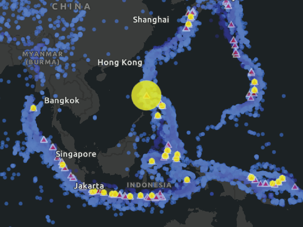
Geospatial Analysis and Feature Engineering
We bring deep experience in geospatial analysis, data creation, and custom scripting to help you map, visualise, and interrogate your data, revealing insights that standard approaches often miss.
Our team has experience with ESRI applications (ArcMap/Pro, StoryMaps, FieldMaps, Dashboards) as well as QGIS.
-
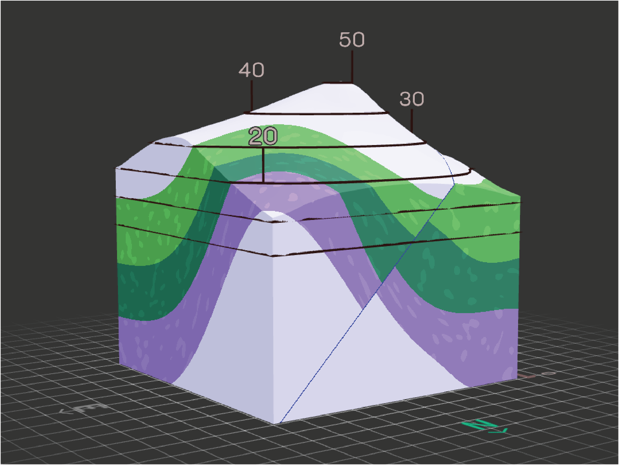
3D Modelling
We build 3D geological models that illuminate crustal architecture and subsurface structure, with experience across diverse geological settings.
Our team has experience with a range of industry-standard software to deliver models that support decision-making and target generation.
-
Training
We offer customised training programs in structural geology, geochemistry, geological mapping, and GIS—designed to build technical capability in your team.
With over a decade of university-level teaching experience, we develop and deliver engaging, practical training in the classroom, online, or in the field—tailored to your project needs and staff expertise.